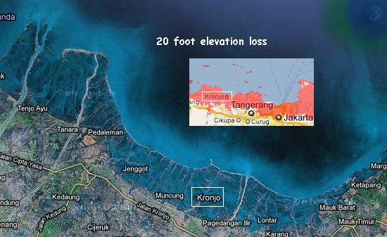
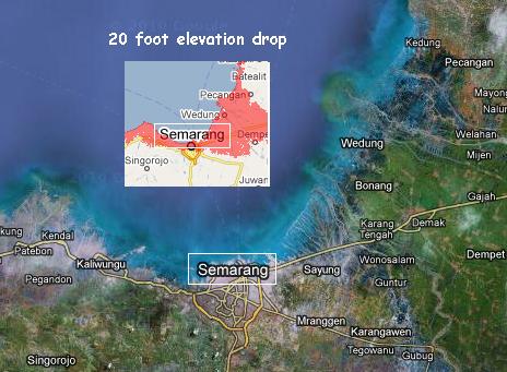
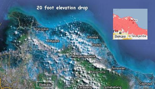
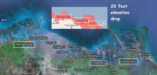
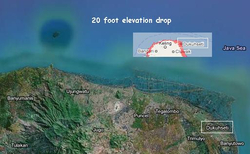
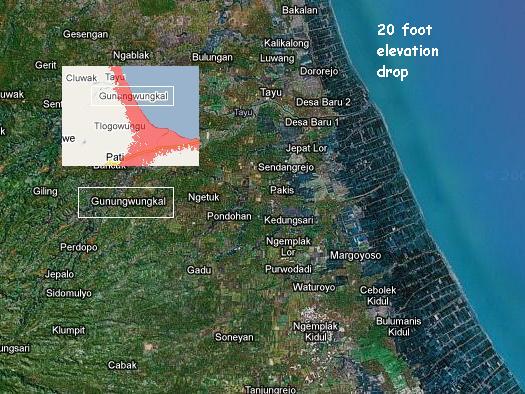
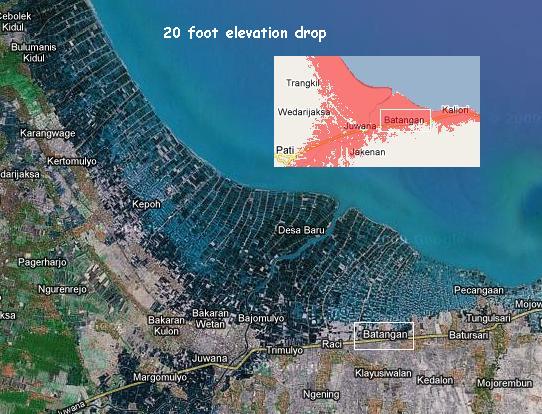
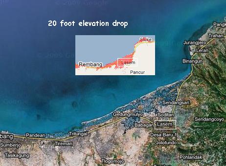
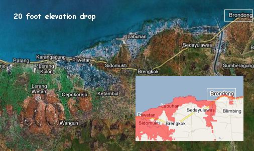
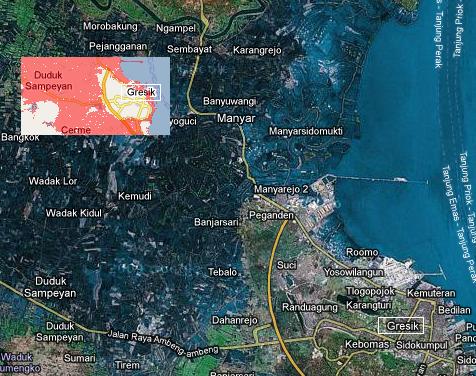
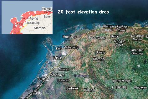
During the normally scheduled and computer programmed refresh cycle, the island of Java in Indonesia
was re-imaged by Google satellite very recently, since the sinking in Java started. A 20 foot elevation
loss is evident, absolutely. Other parts of Indonesia, and Australia, show no flooding and are still
operating with older Google satellite images. But this was a gift, as it proves a media cover-up.
This Issue 225 is going out to those subscribers who can accept a newsletter with graphics included.
Please save these graphics and post them on message boards and share them with your friends. The
media in Indonesia is utterly suppressing this news, in cooperation with media outlets elsewhere. This is
not drainage from flooded rivers, not a temporary wave striking some part of the coastline. This is
sinking. The depth is consistently 20 feet, on all side of Java. In an attempt to bury this information, I
may be instructed to not use Google Satellite images in my newsletter. So its out the door early this
monring in an addendum newsletter. The Internet can overcome a media blackout, as Tiananman Square
showed. Get the word out, please, in many places. Start a fire.
